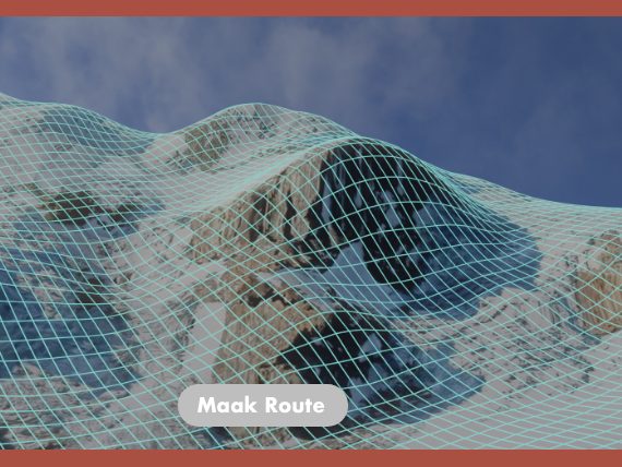
An app concept for climbers and hikers that turns a map into 3D terrain and plans a route across it.
Concept
You pick a mountain on a satellite globe and the app builds a 3D model of the terrain. It then suggests a route across it, which you can save. The home screen shows routes near you, and your history keeps the routes you made.
Advice, not orders
A route in the mountains can be dangerous, so the app presents every route as advice and asks you to accept the terms before you use it.
Terrain
I built the terrain in Blender from satellite images and elevation data, to show what the generated 3D view could look like.
Screens
From login to a saved route (in Dutch). Tap a screen to see it large.